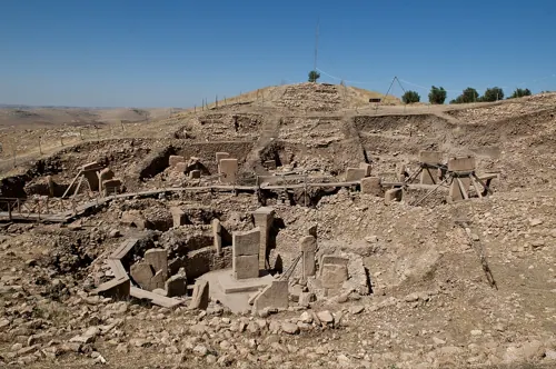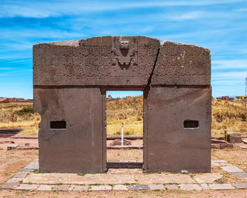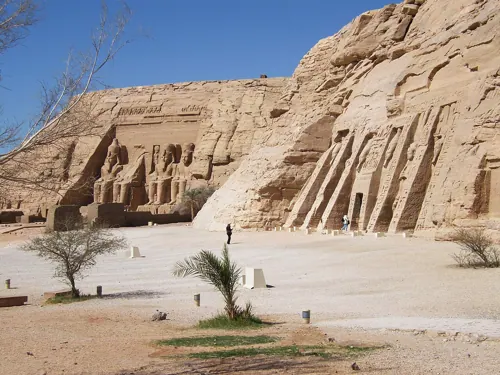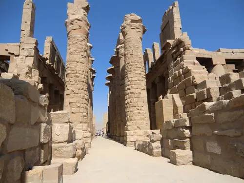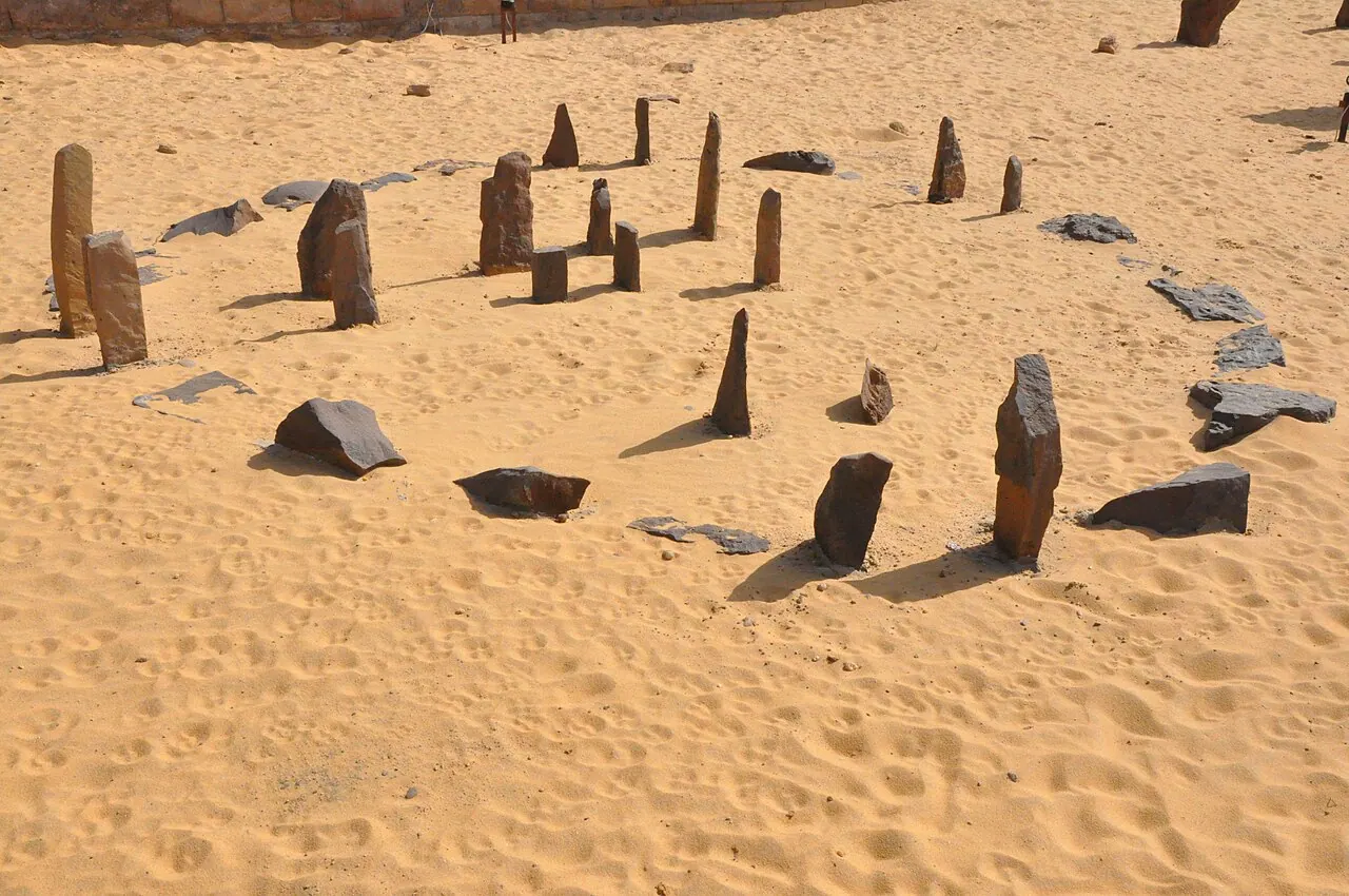
When the Sahara was briefly green, cattle-herding peoples gathered at a seasonal lake and raised small stone circles, megalith lines and buried cattle tumuli. The 'calendar circle', now in the Aswan Nubia Museum, has gate stones marking the June solstice sunrise — at a latitude where, weeks either side, the summer sun passes dead overhead and shadows vanish. Astrophysicist Thomas Brophy's more speculative reading maps its interior stones to Orion's Belt.
See Nabta Playa on the globe
Opens with the Sky Alignments lens on, so you can see what it connects to.
Notable facts
- Among the oldest astronomically aligned megalithic constructions known anywhere.
- At Nabta's latitude the sun crosses the zenith ~3 weeks either side of solstice — 'shadowless noons'.
- A buried sculpted bedrock 'cow stone' lay beneath one tumulus, deliberately interred.
Through the theories
How each theory reads Nabta Playa. Follow a theory to see its verdict and every other site it claims.
Sky AlignmentsEstablished science
Solstice gates at 6,000+ years old — mainstream and revolutionary at once.
Lost WorldRejected by mainstream
Organised astronomy in the green Sahara, two millennia before the pharaohs, hints — proponents argue — at knowledge inherited rather than invented.
Earth GridNo measurable evidence
Brophy's 'Origin Map' extends the stone map to galactic scales — a case study in how far past the evidence a pattern can be ridden.