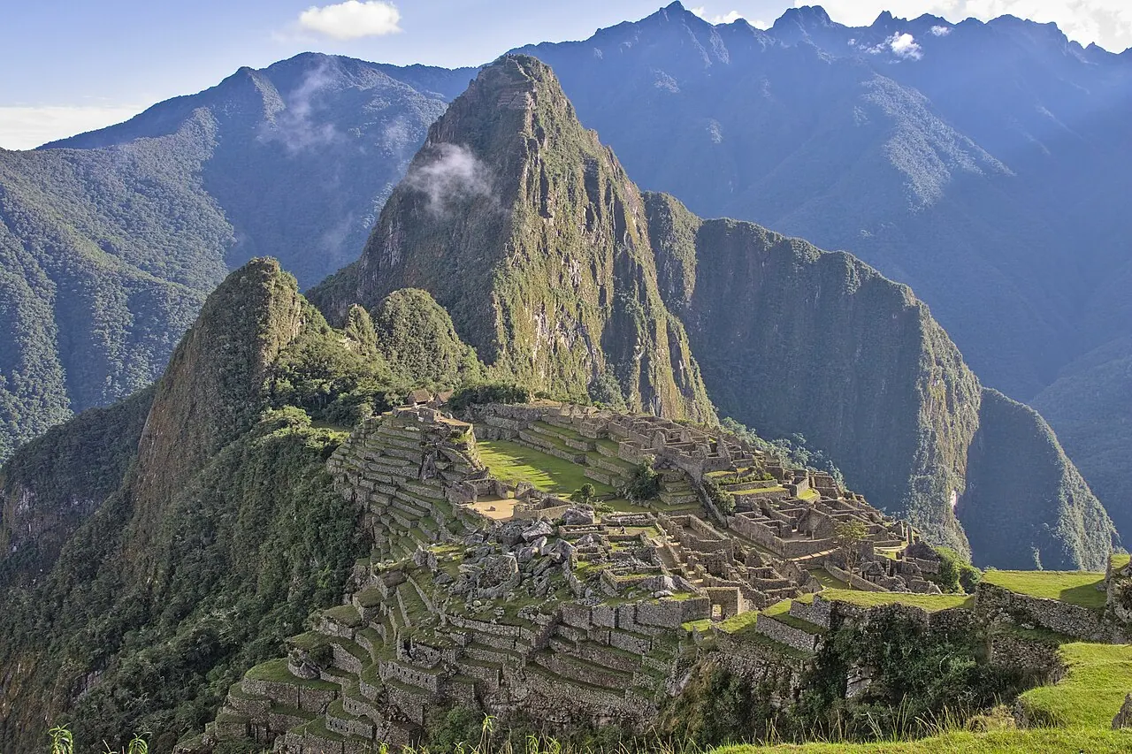
Built for the Inca emperor Pachacuti on a ridge 2,430 m above the roaring Urubamba, Machu Picchu was abandoned within a century and never found by the Spanish. Its finest buildings — the Temple of the Sun, the Intihuatana stone, the Room of the Three Windows — are ashlar masterpieces of mortarless masonry, shaped to echo the silhouettes of the holy mountains (apus) around them.
See Machu Picchu on the globe
Opens with the Sky Alignments lens on, so you can see what it connects to.
Notable facts
- The Intihuatana ('hitching post of the sun') is popularly said to cast no shadow at the equinoxes; in fact the midday sun stands directly over it only on the zenith-passage days of late October and mid-February.
- The Temple of the Sun's window frames the June solstice sunrise precisely.
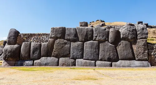
- Its polygonal walls have survived centuries of earthquakes that flattened colonial buildings.
Through the theories
How each theory reads Machu Picchu. Follow a theory to see its verdict and every other site it claims.
Sky AlignmentsEstablished science
Solstice windows, the Intihuatana gnomon, and cave alignments make it a functioning solar observatory.
Sacred GeometryA spectrum
Terraces and temples mirror the geometry of surrounding peaks; the site is a deliberate dialogue between built and natural form.
Ley LinesMostly chance
Lies close to Alison's global great-circle alignment, some 75 km from Cusco and outside its 'ceque' system — 41 documented ritual sightlines radiating from the Coricancha.