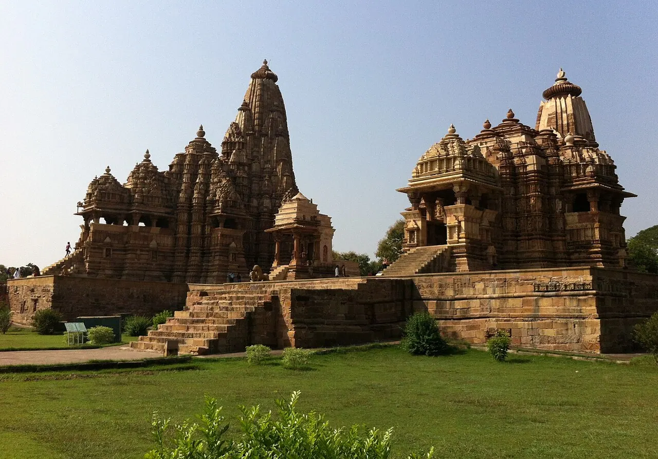
The Chandela dynasty built 85 temples of which 25 survive, their sandstone spires (shikharas) rising in self-similar fractal clusters like the Himalaya they symbolise. The carvings run the full register of life — gods, wars, musicians, lovers — with the famous erotic panels forming a small but pointed fraction, read variously as tantra, fertility, or the world one must pass through before the sanctum's austerity. Each temple stands on a high jagati platform, plotted on mandala geometry.
See Khajuraho on the globe
Opens with the Sky Alignments lens on, so you can see what it connects to.
Notable facts
- Kandariya Mahadeva's shikhara is built of 84 miniature replicas of itself — architectural fractals, c. 1030 CE.
- Temple plans follow the vastu-purusha mandala — an 8×8 or 9×9 sacred grid.
- Lost to jungle for centuries, 'rediscovered' by T.S. Burt in 1838.
Through the theories
How each theory reads Khajuraho. Follow a theory to see its verdict and every other site it claims.
Sky AlignmentsEstablished science
Nearly all the principal temples face east to the sunrise; the Chaturbhuja temple is the noted exception.
Sacred GeometryA spectrum
Fractal self-similarity and mandala grids centuries before the mathematics describing them.
Ley LinesMostly chance
On Alison's great-circle list, about 12 miles from his line.