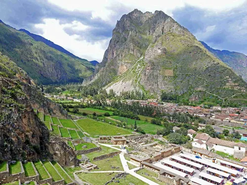
In 1976, NASA satellite image C-S11-32W071-03 showed a grid of symmetrical dome shapes rising from the Manú rainforest. Dubbed the 'Dots of Paratoari', they inspired expeditions hunting Paititi, the lost refuge of the Incas. Ground surveys found the domes to be natural truncated sandstone ridges — but genuine Inca artifacts and petroglyphs in the surrounding forest keep the region archaeologically live. Alison's great-circle alignment threads through this area, which is why a natural formation earns a beacon on this map: it marks where the theory predicts a site should be.
See Paratoari on the globe
Opens with the Ley Lines lens on, so you can see what it connects to.
Notable facts
- The formations are natural sandstone, sculpted by differential erosion.
- Petroglyphs at nearby Pusharo and scattered Inca finds keep Paititi legends alive.
- Thierry Jamin's expeditions have repeatedly probed the region for the lost city.
Through the theories
How each theory reads Paratoari. Follow a theory to see its verdict and every other site it claims.
Ley LinesMostly chance
Included in Alison's great-circle site list — the alignment's most honest data point, because it shows the line predicting significance where geology, not architecture, answers.