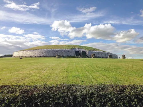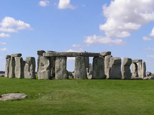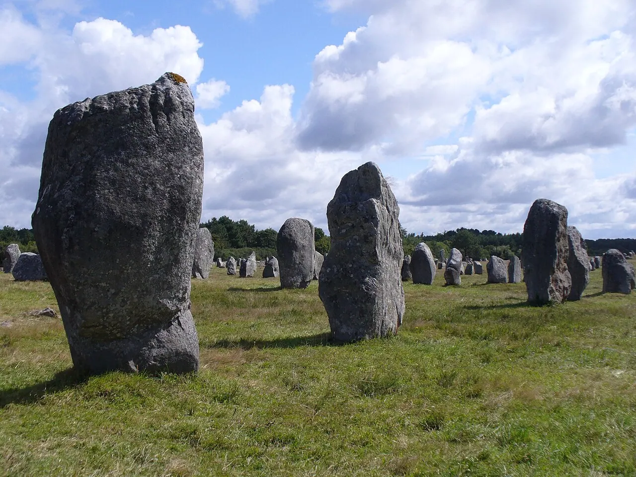
The alignments of Carnac — Ménec, Kermario, Kerlescan — deploy roughly 3,000 granite menhirs in converging rows over four kilometres. They are older than Stonehenge and their purpose is unresolved: processional ways, a lunar observatory (Alexander Thom's 'megalithic yard' survey), or, in legend, a Roman legion petrified by Saint Cornelius. The nearby Grand Menhir Brisé, now fallen and broken, once stood 20 metres tall — the largest standing stone ever erected in Europe.
See Carnac Stones on the globe
Opens with the Sky Alignments lens on, so you can see what it connects to.
Notable facts
- The Grand Menhir Brisé weighed an estimated 280–330 tonnes and may have been a universal lunar foresight (Thom).
- Rows converge toward egg-shaped stone enclosures — geometry Thom claimed was set out with Pythagorean triangles.
- Local legend: each stone is a petrified soldier, and they walk to the river to drink at midnight on Christmas.
Through the theories
How each theory reads Carnac Stones. Follow a theory to see its verdict and every other site it claims.
Sky AlignmentsEstablished science
Thom's lunar-observatory model uses the Grand Menhir as a foresight for eight standstill alignments.
Sacred GeometryA spectrum
Thom's surveys claimed a standard 'megalithic yard' (0.829 m) used across Britain and Brittany — statistical debate continues.
Ley LinesMostly chance
The rows themselves are alignments — the question is only toward what; ley hunters treat the whole field as a fossilised sightline network.