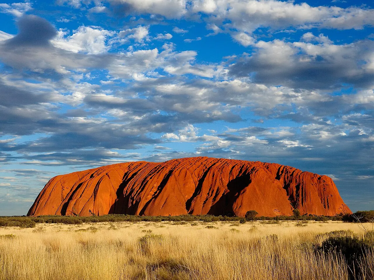
The great arkose monolith of the Red Centre rises 348 metres above the plain and continues kilometres beneath it. For the Aṉangu, its every fold and cave is Tjukurpa — the Dreaming: creation events of ancestral beings written permanently into rock. Songlines — sung route-maps of law, ecology and myth — radiate from it across the continent, connecting sacred sites in webs of narrative navigation that long predate, and oddly prefigure, Europe's ley-line imagination. Climbing was permanently closed in 2019 at the custodians' request.
See Uluru on the globe
Opens with the Axis Mundi lens on, so you can see what it connects to.
Notable facts
- Aboriginal presence in the region is attested for over 30,000 years — among the oldest continuous cultures on Earth.
- Songlines function as oral GPS: a song's rhythm encodes distances and waypoints across hundreds of km.
- The rock changes colour theatrically at dawn and dusk as low sun strikes its rusted, iron-oxide skin — beneath it, the arkose is grey.
Through the theories
How each theory reads Uluru. Follow a theory to see its verdict and every other site it claims.
Axis MundiEstablished anthropology
Every fold of the rock is Tjukurpa; Uluru anchors a continent-wide web of songlines — sacred geography at its most alive.
Ley LinesMostly chance
Songlines are real, functioning 'lines of connection' between sacred sites — the closest thing on Earth to what ley hunters imagined, evolved for navigation and law rather than energy.
Earth GridNo measurable evidence
'Earth chakra' literature names Uluru the planet's solar-plexus — a modern projection the Aṉangu tradition neither needs nor endorses.