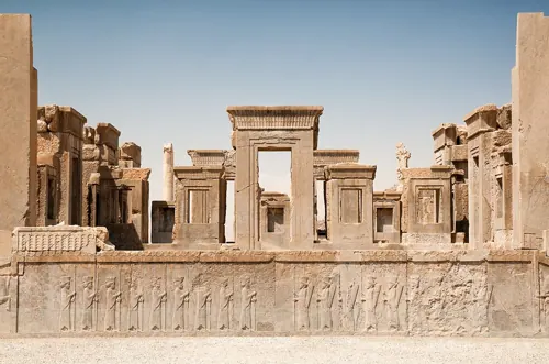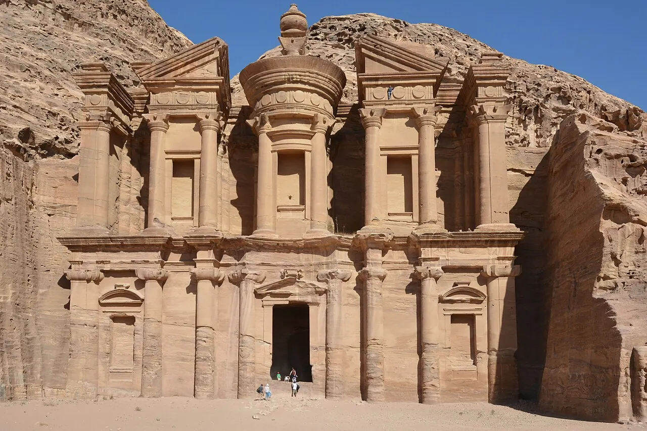
The Nabataeans, masters of desert water, cut their capital into sandstone gorges: the Treasury, the Monastery, a theatre for 8,500, and 800 tombs, all fed by ceramic pipelines and hidden cisterns that tamed flash floods. Archaeoastronomical surveys show major monuments oriented on solstices and equinoxes — the winter solstice sun enters the Monastery's hall to strike the sacred motab platform. Petra also lies on the great-circle alignment beloved of alternative geographers.
See Petra on the globe
Opens with the Sky Alignments lens on, so you can see what it connects to.
Notable facts
- The Siq entrance canyon is 1.2 km long and as narrow as 3 m — a processional compression before the Treasury's reveal.
- Nabataean hydraulics — dams, channels, cisterns and pipelines — captured scarce flash-flood water to sustain a desert city of tens of thousands.
- The 'Treasury' urn is pocked with rifle shots from treasure-hunters — it is solid stone.
Through the theories
How each theory reads Petra. Follow a theory to see its verdict and every other site it claims.
Sky AlignmentsEstablished science
Belmonte's surveys found systematic solstice orientations in the Monastery, Urn Tomb and Zibb Atuf obelisks.
Ley LinesMostly chance
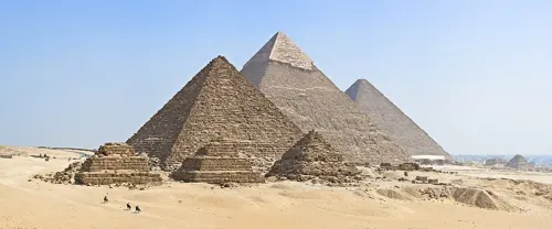
A named station on Alison's Giza–Angkor great circle.