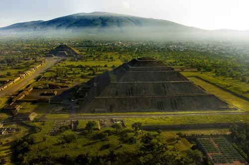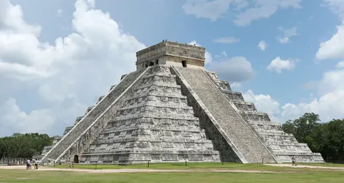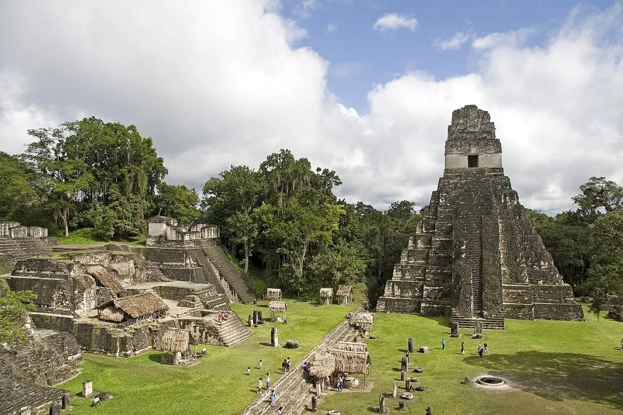
One of the greatest Maya cities, Tikal raised six massive temple pyramids above the Petén rainforest, the tallest (Temple IV) 70 metres high. Its dynasty of 33 rulers spanned eight centuries. From the summit of Temple IV, the other temples emerge from the canopy in ordered sightlines; several pairs line up with sunrises on dates that mattered in the Maya ritual calendar. The city drank from engineered reservoirs, at least one filtered through zeolite and quartz sand carried in from volcanic deposits some 30 km away.
See Tikal on the globe
Opens with the Sky Alignments lens on, so you can see what it connects to.
Notable facts
- Temple I's nine stepped platforms are often read as mirroring the nine levels of the Maya underworld, Xibalba.
- Lost World complex contains an 'E-Group' — an architectural formation widely interpreted as a solar marker, though whether E-Groups served as working observatories is debated.
- Tikal's causeways connect temple groups like the ceremonial roads of Chaco.
Through the theories
How each theory reads Tikal. Follow a theory to see its verdict and every other site it claims.
Sky AlignmentsEstablished science
E-Group plazas frame the sunrise at solstices and equinoxes from a single vantage pyramid.
Sacred GeometryA spectrum
Proponents tie the site plan to the 260-day tzolk'in count: the sightline from Temple IV to Temple I marks sunrises that split the year into 260 and 105 days.