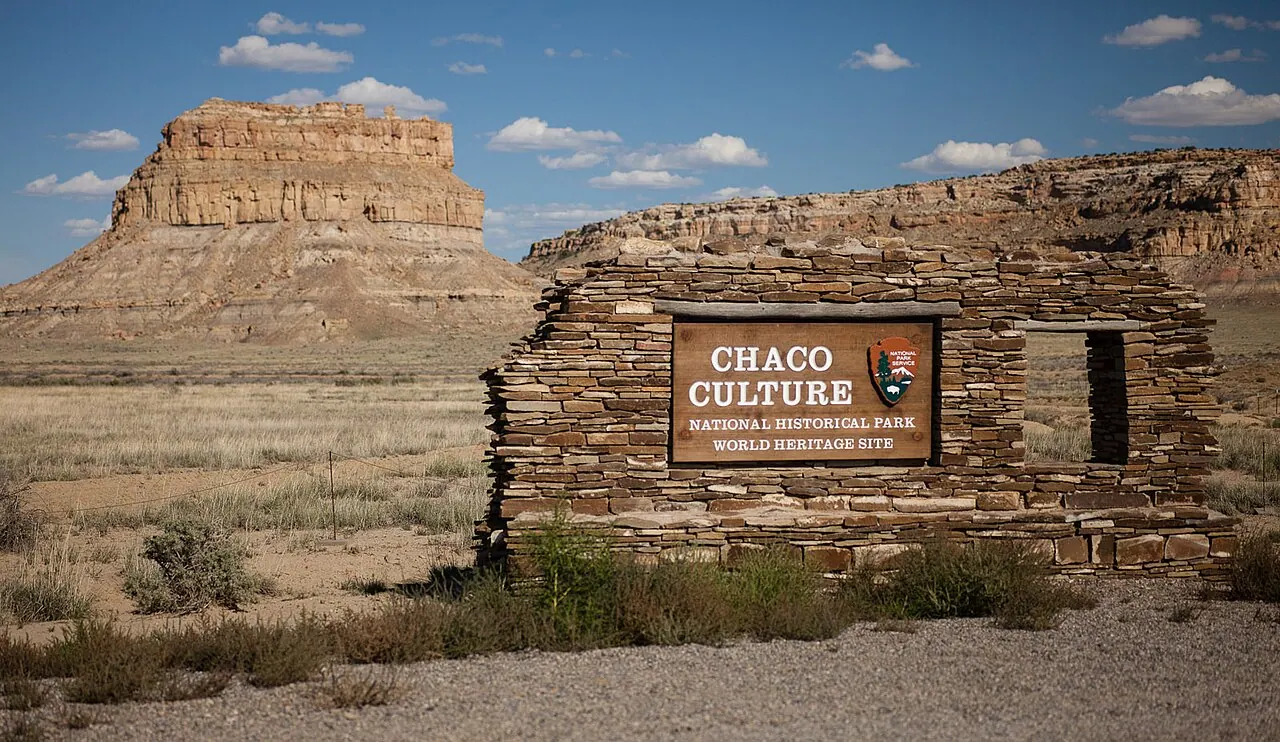
The Ancestral Puebloans raised monumental 'great houses' — Pueblo Bonito alone had ~650 rooms — in a canyon that could barely feed them. Arrow-straight roads up to 9 m wide radiate outward for tens of kilometres, ignoring topography, sometimes running as parallel doubles, connecting to nothing obvious. On Fajada Butte, the 'Sun Dagger' spiral petroglyph is bisected by a blade of light at summer solstice.
See Chaco Canyon on the globe
Opens with the Sky Alignments lens on, so you can see what it connects to.
Notable facts
- The Great North Road runs ~50 km almost due north to a badland canyon, with no destination settlement.
- Major buildings share alignments to solar and lunar standstill azimuths (Sofaer's Solstice Project).
- Chocolate residue in cylinder jars proves trade with Mesoamerica, 2,000 km south.
Through the theories
How each theory reads Chaco Canyon. Follow a theory to see its verdict and every other site it claims.
Sky AlignmentsEstablished science
Anna Sofaer argued the Sun Dagger tracked both the solar year and the 18.6-year lunar standstill cycle — a double calendar in a single carving.
Ley LinesMostly chance
The Chacoan roads are the New World's most concrete 'ley' candidates — engineered straight lines with apparently ritual, not economic, purpose.